_811205.png)
_e196d8.png)
_32b3d9.png)
_1c53fe.png)

A late-season cold front puts Highway 28, Lemhi Pass, Lost Trail Pass and the West Yellowstone gateway under winter alerts from Saturday night into Monday morning.
Peak Driving Danger Window
Saturday night through Monday morning, with the highest risk between midnight and mid-morning each day, when snow levels fall to their lowest and wet snow sticks to the highest pavement.
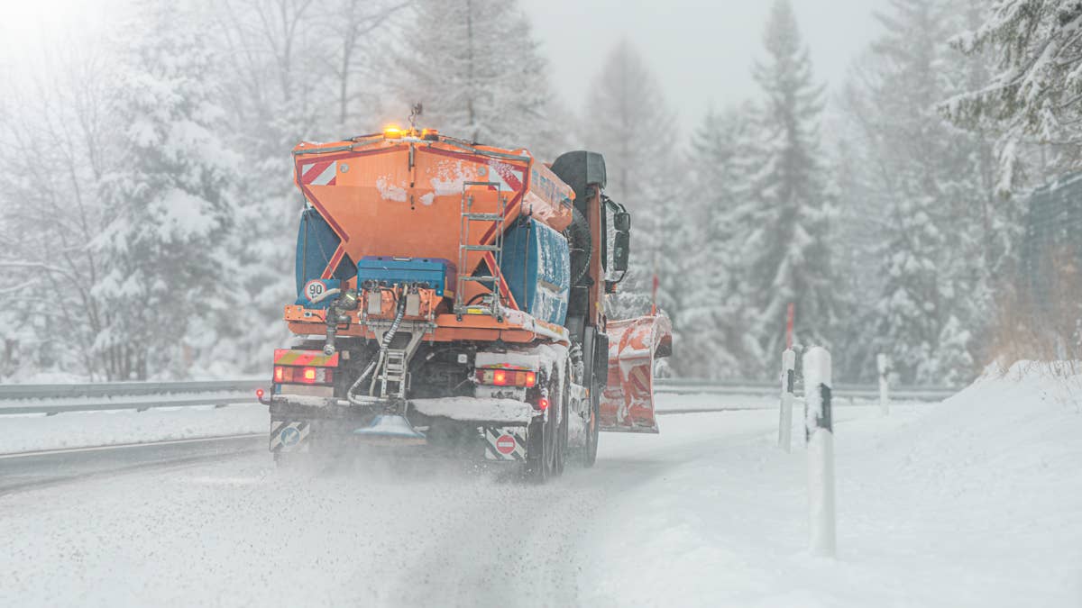
A Summer Cold Front Turns to Snow on The Passes
Earlier this week the low valleys of central Idaho sat in the 80s and low 90s. By the weekend the same high country is forecast to see accumulating snow. A cold front pushing through the Northern Rockies on June 27 and 28 will drop snow levels fast and turn rain to heavy wet snow on the tallest passes, right in the middle of peak summer travel season. Forecasters at the Missoula office called it an abrupt end to the warm stretch, with valley highs sliding into the 50s and 60s and the high country turning, in their words, "decidedly winter-like."
The National Weather Service office in Missoula issued Winter Storm Watches on Thursday for mountain zones in Idaho and Montana. All run from Saturday evening through Monday morning above 6,500 feet. The heaviest totals, up to 8 inches, are expected in the Bitterroot and Sapphire ranges along the Idaho and Montana border and across Eastern and Western Lemhi County. The Butte and Blackfoot region, including Georgetown Lake and the Anaconda and Pintler mountains, could pick up 6 inches or more.
To the east, the Great Falls office added a Winter Weather Advisory for the Gallatin, Madison and Centennial mountains, Northwest Beaverhead County, and the Ruby and Southern Beaverhead ranges. Those areas can expect up to 4 inches from midnight Saturday through Monday noon.
Where The Alerts Hit The Road
Zone | Alert | Snow above 6,500 ft | Key routes |
Bitterroot and Sapphire Mountains | Winter Storm Watch | Up to 8 inches | US 93 over Lost Trail Pass |
Eastern and Western Lemhi County | Winter Storm Watch | Up to 8 inches | Highway 28, Tendoy to Lone Pine; Lemhi Pass; Bannock Pass |
Butte and Blackfoot Region | Winter Storm Watch | 6 inches or more | Georgetown Lake area roads |
Gallatin, Madison and Centennial Mountains | Winter Weather Advisory | Up to 4 inches | US 20 over Targhee Pass; I-15 over Monida Pass |
Beaverhead and Ruby Mountains | Winter Weather Advisory | Up to 4 inches | MT 43 over Chief Joseph Pass |
Elevation is what puts the named routes in play. Idaho Highway 28 climbs past the snow line between Tendoy and Lone Pine, and Lemhi Pass, the unpaved Continental Divide track that Lewis and Clark crossed in 1805, tops out at 7,373 feet, high enough to be among the first roads to go to mud and snow. US 93 over Lost Trail Pass runs through the Bitterroot zone near 7,000 feet. On the Montana side, the advisory names Monida Pass on Interstate 15 and Targhee Pass on US 20, the main approach to the West Yellowstone entrance of Yellowstone National Park.
That matters for the crowds heading to Yellowstone. West Yellowstone is one of the park's busiest gateways in late June, and drivers who left 80-degree valleys a few days earlier could reach the approach roads to find snow, slush and highs stuck in the 30s and 40s, with the worst of it overnight and early in the morning.
The snow will be wet and heavy, the kind that clings to trees and power lines. Missoula forecasters flagged a raised hypothermia risk for anyone caught out in it, and warned that falling trees could block backcountry roads.
What Drivers Should Do This Weekend
- Check Idaho 511 and Montana 511 for live pass conditions before you leave.
- Carry chains or traction devices if you plan to cross any of these passes.
- Pack a basic kit even in summer: blanket, water, flashlight and warm layers.
- Slow down on bridges and shaded curves, where wet snow freezes first.
- Build in extra time, and be ready to turn back if a pass closes.
Most low valleys, including Salmon and the towns along US 93, will see rain rather than snow. The risk is concentrated on the passes and high ridges, and conditions can change fast as snow levels rise and fall through the weekend. Anyone planning to cross these routes should check the road before heading out.
Join the conversation
You can post now and register later. If you have an account, sign in now to post with your account.